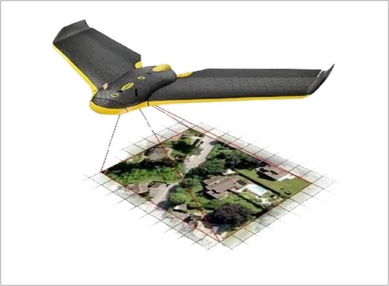
Carrying Out Geospatial Drone Survey And GIS Mapping for Development, Implementation & Maintenance Of Enterprise Geospatial Solution For Client Urban Areas.
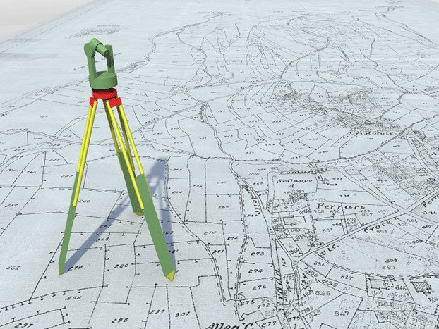
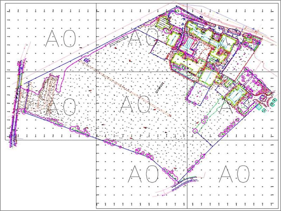
We are done topographical survey using ETS/DGPS techniques in following area's i.e. Land Based Survey, Network Survey (Road/Railway,Transmission line), Cadastral Survey, City Survey for Urban Development, etc.
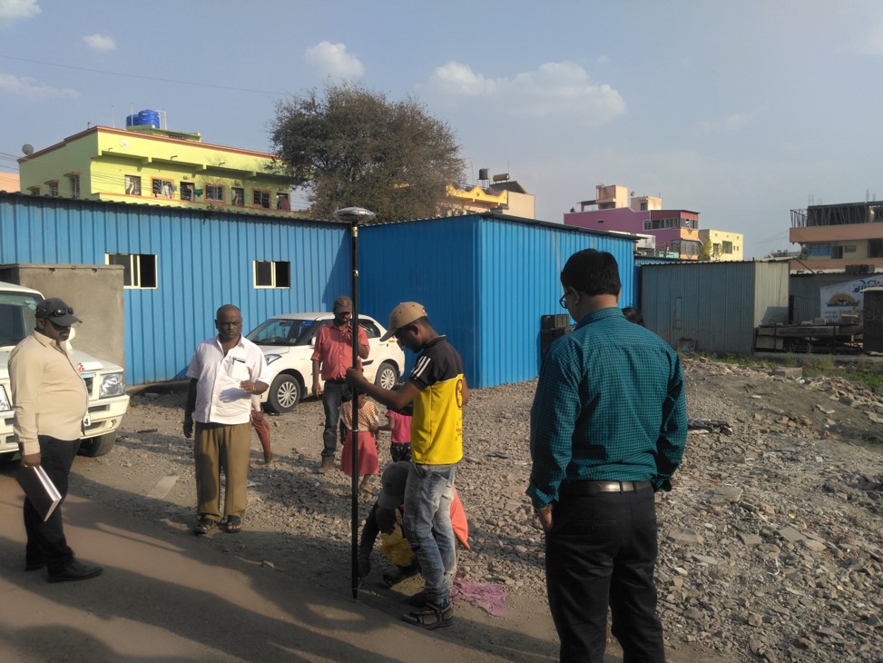
LWe are done higher positional accuracy survey work with latest DGPS instrunment for Cadastral, Boundary Demarcation, Network Survey and Urban Planning area.
We are done Consumer/Information survey with mobile application or on paper to client. also we are done carpet based property survey with laser distometer instrument for revenue management to client.